Pandacan sits in a bend of the Pasig and was for decades the site of Manila’s oil depot, which is why so much of it is industrial land rather than housing. It is also where several of the country’s composers and musicians came from — the district has an old association with brass bands.
5 places · from ₱2,500
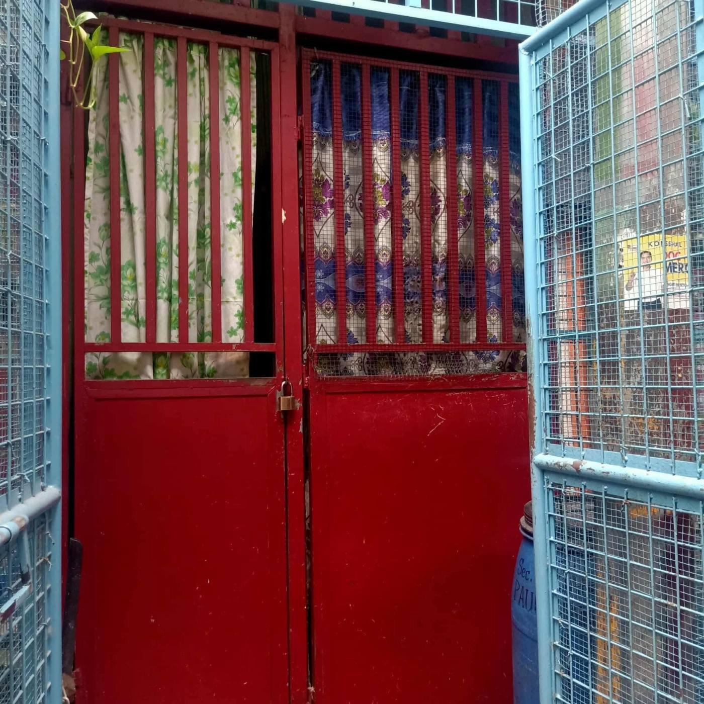 ₱ 2,500/mo≈ $40Pandacan, ManilaBedspaceAd seen 1d ago
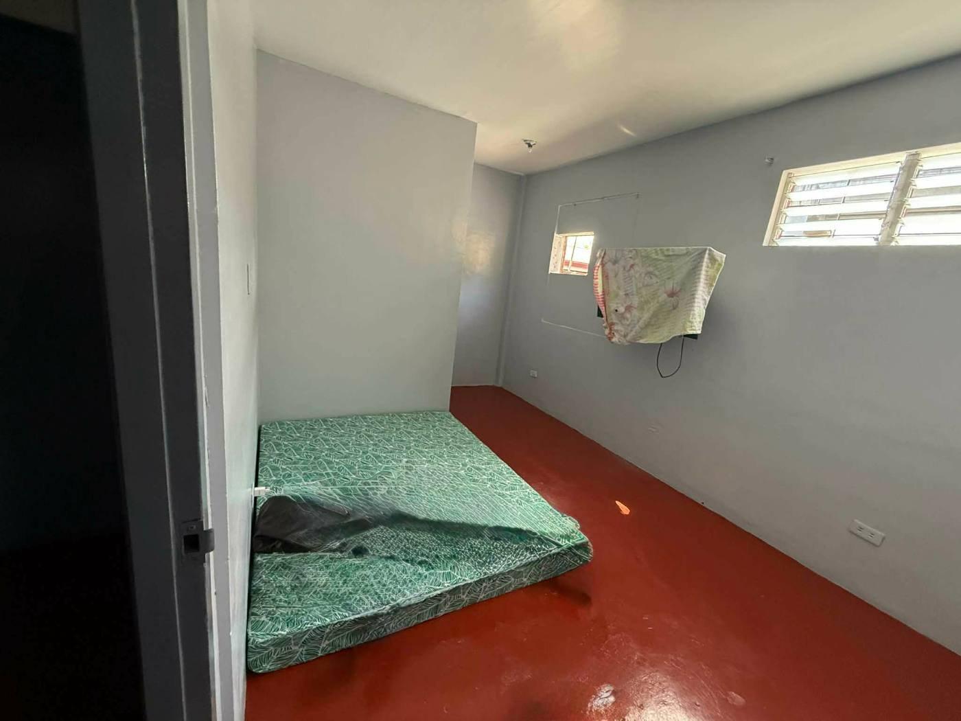 ₱ 9,000/mo≈ $143Pandacan, Manila1BR · HouseAd seen 1d ago
 ₱ 10,000/mo≈ $159₱30,000 to move inPandacan, ManilaStudio · ApartmentPet friendlyAd seen 1d ago
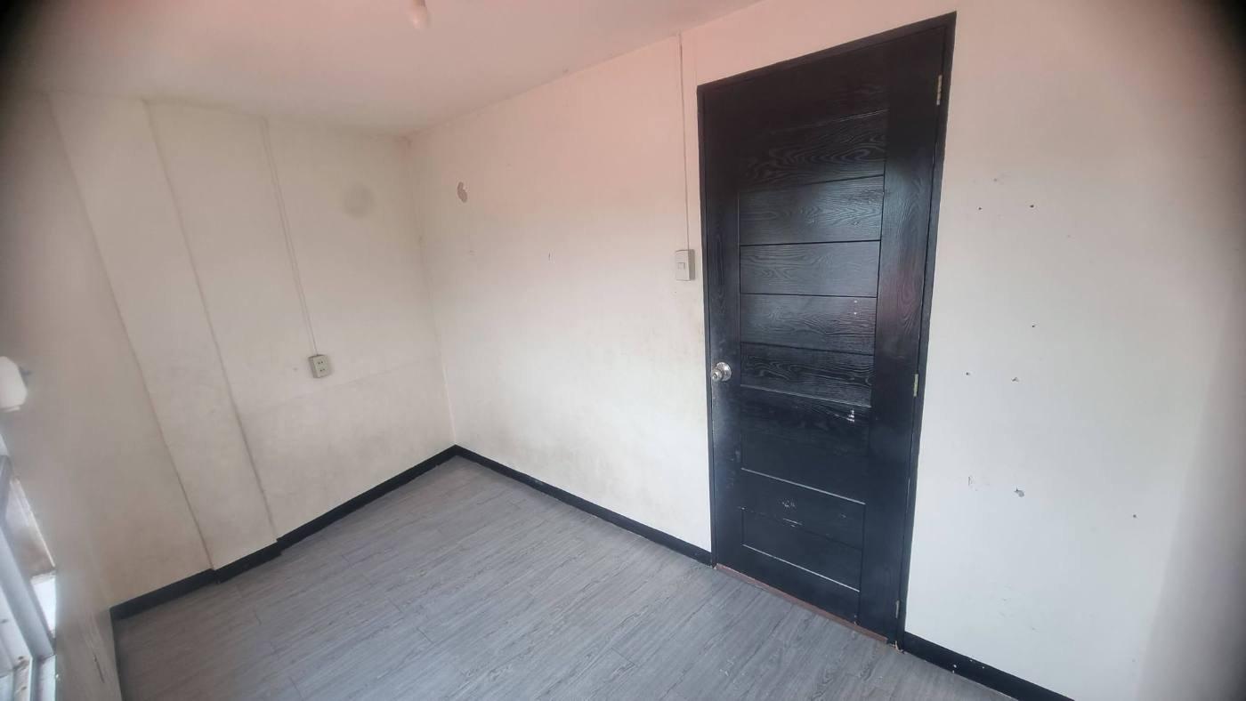 ₱ 12,000/mo≈ $191Pandacan, Manila1BR · RoomAd seen 1d ago
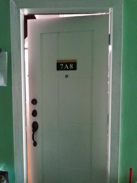 ₱ 26,000/mo≈ $413Pandacan, Manila3BR · Condo · 42m²Ad seen 1d ago
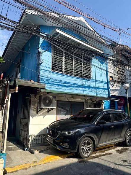 Ask the agentPandacan, ManilaStudio · ApartmentPet friendlyAd seen 1d ago
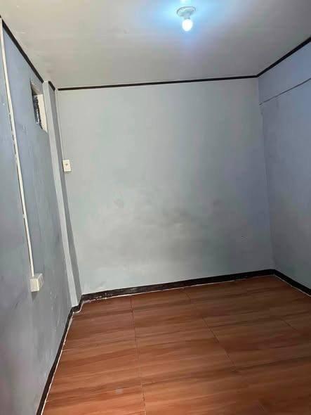 VerifiedAsk the agentPandacan, ManilaStudio · ApartmentAirconChecked 1d ago
 Ask the agentPandacan, Manila1BR · Apartment · Semi-furnished24h security · Pet friendlyAd seen 1d ago
 Ask the agentPandacan, Manila1BR · Apartment · Semi-furnished24h security · Pet friendlyAd seen 1d ago
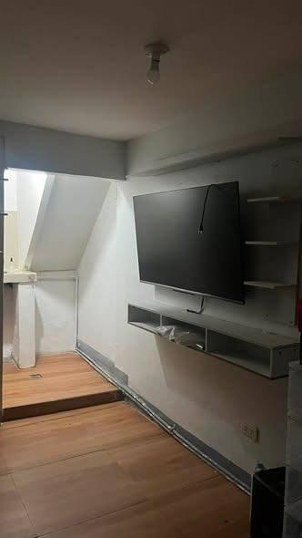 Ask the agentPandacan, ManilaStudio · ApartmentAd seen 1d ago
Every listing shows when it was last checked — taken places come down.
Not what you were looking for? Tell us and we will find it.
Want us to find a place in Pandacan?
Tell us your terms and we will look and get back to you — including areas not listed here yet.
By property type
Buildings in this area
Nearby areas
Jeepney and bus routes
Routes whose line passes within 800 m of this area’s point. Distance is measured, not estimated.
- Alabang–Divisoria53 mAlso passes Sampaloc · Pio del Pilar · Palanan
- FTI–Divisoria53 mAlso passes Pio del Pilar · Palanan · Paco
- L. Guinto–Pandacan53 mAlso passes Paco
- Paco–SM City Santa Mesa via Nagtahan548 mAlso passes Paco · Santa Mesa · Balong-Bato
- Guadalupe–L. Guinto via Pedro Gil786 mAlso passes Paco · Guadalupe · Poblacion
- L. Guinto–Santa Ana786 mAlso passes Santa Ana · Paco · Malate
Routes and distances from OpenStreetMap contributors (ODbL). Route names are kept as they are called locally.
About Pandacan
Manila, Metro Manila
- Budget
How far from the main hubs
- Makati · Ayala — 4.4 km in a straight line
- BGC — 6.3 km in a straight line
- Ortigas — 6.3 km in a straight line
- Cubao — 6.5 km in a straight line
- NAIA T3 — 7.7 km in a straight line
Straight-line distance, not travel time — in Metro Manila 3 km can take 40 minutes. Coordinates from OpenStreetMap.
Landmarks within walking range
- Ygeia Medical Center, Inc. (hospital) — 0.1 km in a straight line
- Talipapa ng Pandacan (market) — 0.2 km in a straight line
- Public Market (market) — 0.5 km in a straight line
- Presidential Security Group Station Hospital (hospital) — 0.7 km in a straight line
- Robinsons Supermarket (mall) — 0.7 km in a straight line
- Pandacan (station) — 0.8 km in a straight line
Within 1.5 km, straight-line distance. Places from OpenStreetMap contributors (ODbL).
Earthquake hazards at this spot
- Liquefaction
- High Potential
From one point at the centre of the area, not the whole area. Wording and grades are PHIVOLCS’ own. Acknowledge Philippine Institute of Volcanology and Seismology.