Santa Ana was a separate town along the Pasig long before Manila reached it, and a stretch of pre-war and Spanish-era houses still stands near its church. The district curves along the river, and the older streets keep the pattern of a town rather than a city grid.
4 places · from ₱15,000
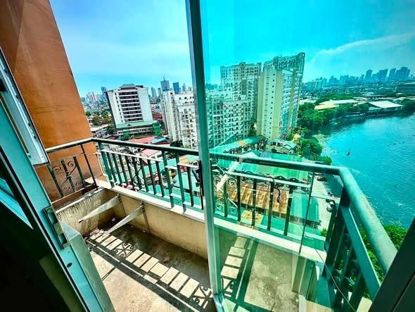 Verified₱ 15,000/mo≈ $239Santa Ana, ManilaStudio · Condo24h security · Pool · GymChecked 1d ago
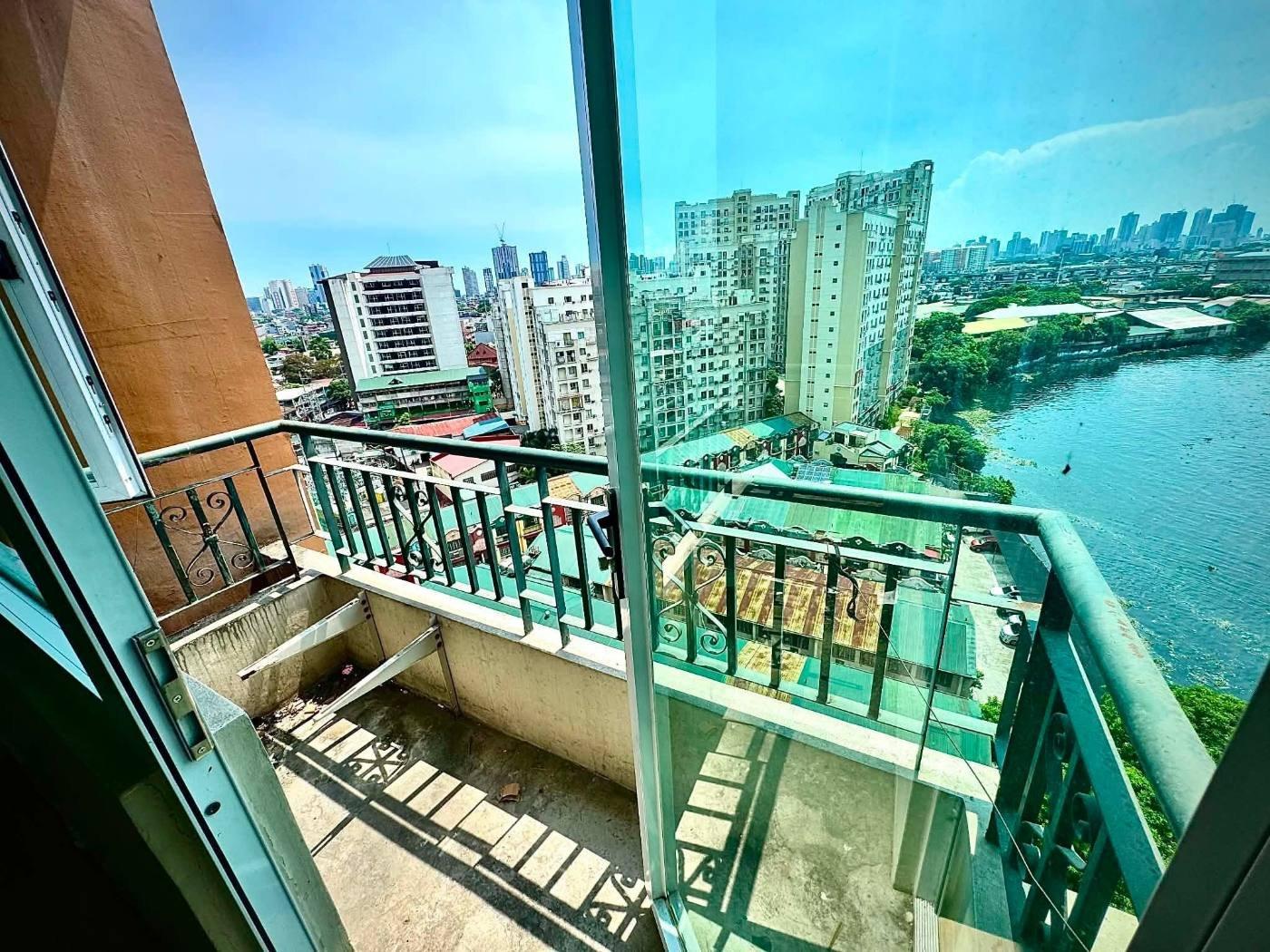 ₱ 17,000/mo≈ $271Santa Ana, ManilaStudio · Condo24h security · Pool · GymAd seen 1d ago
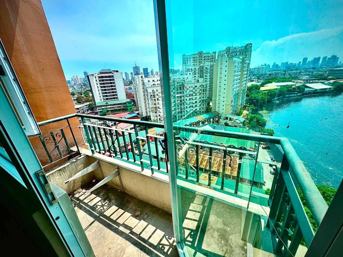 ₱ 17,000/mo≈ $271Santa Ana, ManilaStudio · Condo24h security · Pool · GymAd seen 1d ago
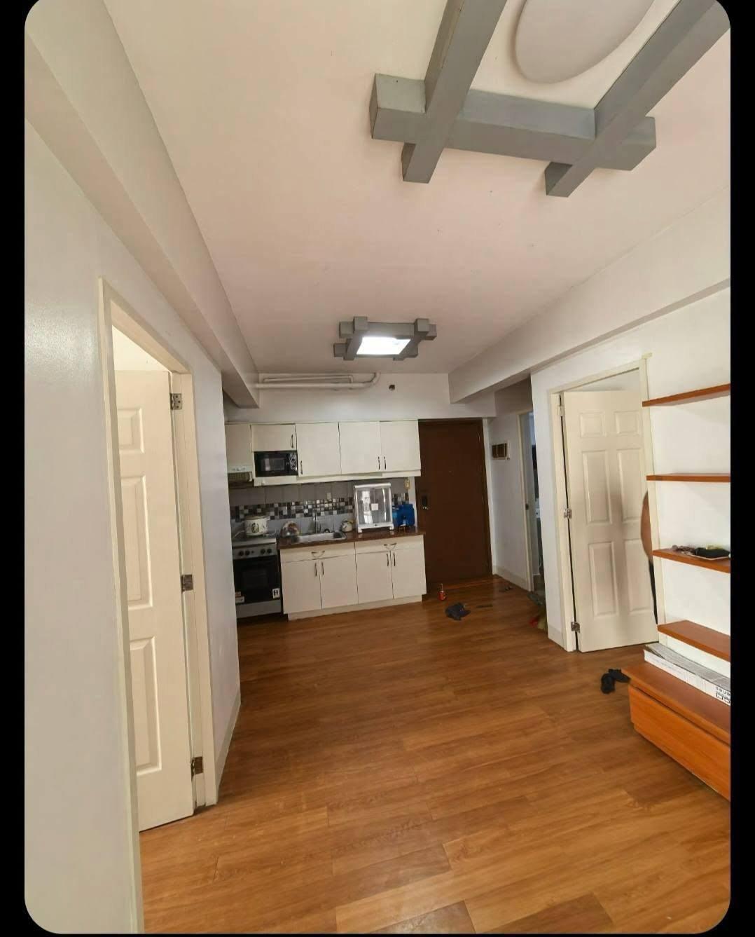 ₱ 25,000/mo≈ $399Santa Ana, Manila2BR · Condo · Semi-furnishedAd seen 1d ago
Every listing shows when it was last checked — taken places come down.
Not what you were looking for? Tell us and we will find it.
Want us to find a place in Santa Ana?
Tell us your terms and we will look and get back to you — including areas not listed here yet.
By property type
Buildings in this area
- Apartment Building № 5
- Apartment Building № 3
- Apartment Building № 7
- Susan F. Subino Rentals
- Revellin Townhomes
- Amazon Tower19 floors
- Rhine Tower19 floors
- Yangtze Tower14 floors
- Kumagawa Tower14 floors
- Colorado Tower12 floors
- Euphrates Tower12 floors
- Building A12 floors
- Blue Danube Tower12 floors
- The Flats at Circuit12 floors
- Dnieper Tower12 floors
- Nile Tower10 floors
- Solstice Towers8 floors
- Calisto8 floors
- River Green Residences5 floors
- Apartment Building № 44 floors
- Moreno Compound2 floors
Nearby areas
Jeepney and bus routes
Routes whose line passes within 800 m of this area’s point. Distance is measured, not estimated.
- L. Guinto–Santa Ana13 mAlso passes Paco · Malate · San Andres
- Punta–Quiapo via Santa Mesa411 mAlso passes Santa Mesa · Sampaloc · Quiapo
- Guadalupe–L. Guinto via Pedro Gil551 mAlso passes Paco · Guadalupe · Poblacion
- Guadalupe–L. Guinto via Pasig Line770 mAlso passes Guadalupe · San Andres · Poblacion
Routes and distances from OpenStreetMap contributors (ODbL). Route names are kept as they are called locally.
About Santa Ana
Barangay 879, Manila, Metro Manila
- Budget
- Quiet
How far from the main hubs
- Makati · Ayala — 3.3 km in a straight line
- BGC — 5.0 km in a straight line
- Ortigas — 5.2 km in a straight line
- Cubao — 6.0 km in a straight line
- NAIA T3 — 6.9 km in a straight line
Straight-line distance, not travel time — in Metro Manila 3 km can take 40 minutes. Coordinates from OpenStreetMap.
Landmarks within walking range
- XentroMall (mall) — 0.1 km in a straight line
- Santa Ana Public Market (market) — 0.1 km in a straight line
- Santa Ana Hospital (hospital) — 0.4 km in a straight line
- Trinity Woman and Child Hospital (hospital) — 0.5 km in a straight line
- Talipapa (market) — 0.8 km in a straight line
- Circuit Makati Transport Terminal (terminal) — 0.8 km in a straight line
Within 1.5 km, straight-line distance. Places from OpenStreetMap contributors (ODbL).
Earthquake hazards at this spot
- Liquefaction
- High Potential
From one point at the centre of the area, not the whole area. Wording and grades are PHIVOLCS’ own. Acknowledge Philippine Institute of Volcanology and Seismology.