2 places · from ₱7,000
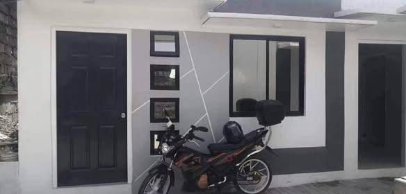 ₱ 7,000/mo≈ $112₱14,000 to move inMalinta, ValenzuelaApartmentParking · Pet friendlyAd seen 1d ago
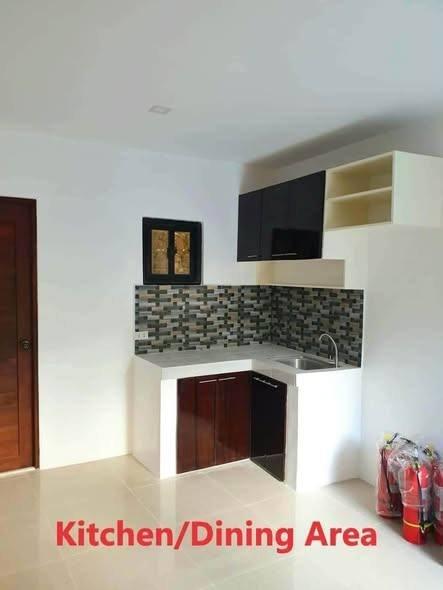 ₱ 7,500/mo≈ $120Malinta, Valenzuela1BR · Apartment24h securityAd seen 1d ago
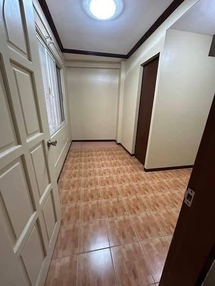 VerifiedAsk the agentMalinta, Valenzuela1BR · ApartmentChecked 1d ago
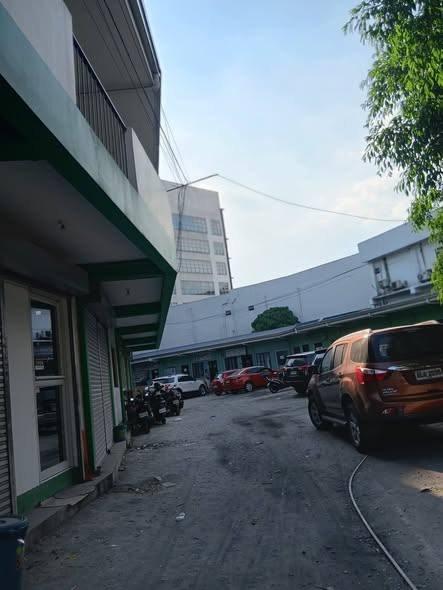 VerifiedAsk the agentMalinta, ValenzuelaStudio · ApartmentChecked 1d ago
Every listing shows when it was last checked — taken places come down.
Not what you were looking for? Tell us and we will find it.
Want us to find a place in Malinta?
Tell us your terms and we will look and get back to you — including areas not listed here yet.
By property type
Buildings in this area
Nearby areas
Jeepney and bus routes
Routes whose line passes within 800 m of this area’s point. Distance is measured, not estimated.
- Route 42: Ayala–Malanday via MacArthur Highway7 mAlso passes Marulas · Karuhatan · Malate
- Divisoria–Malanday via M.H. del Pilar35 mAlso passes Sangandaan · Dalandanan · Tondo
- Novaliches–South Supermarket Malinta189 mAlso passes Novaliches · Karuhatan
Routes and distances from OpenStreetMap contributors (ODbL). Route names are kept as they are called locally.
About Malinta
Barangay Malinta, Valenzuela, Metro Manila
- Budget
How far from the main hubs
Straight-line distance, not travel time — in Metro Manila 3 km can take 40 minutes. Coordinates from OpenStreetMap.
Landmarks within walking range
- St. John Hospital (hospital) — 0.1 km in a straight line
- Valdeco Greenleaf (market) — 0.2 km in a straight line
- Novo (mall) — 0.3 km in a straight line
- Valenzuela Citicare Medical Center (hospital) — 0.4 km in a straight line
- Valenzuela Town Center (mall) — 0.6 km in a straight line
- Valenzuela Modernized Jeepney Terminal (terminal) — 0.6 km in a straight line
Within 1.5 km, straight-line distance. Places from OpenStreetMap contributors (ODbL).