San Miguel holds Malacañang Palace, which has been the seat of the presidency since the Spanish period, and the security that comes with it shapes the district — several streets are closed or controlled. What remains is a small area of old mansions, government offices and one of Manila’s oldest churches.
1 place · from ₱2,500
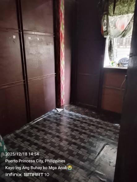 ₱ 2,500/mo≈ $40₱5,000 to move inSan Miguel, ManilaRoomAd seen 1d ago
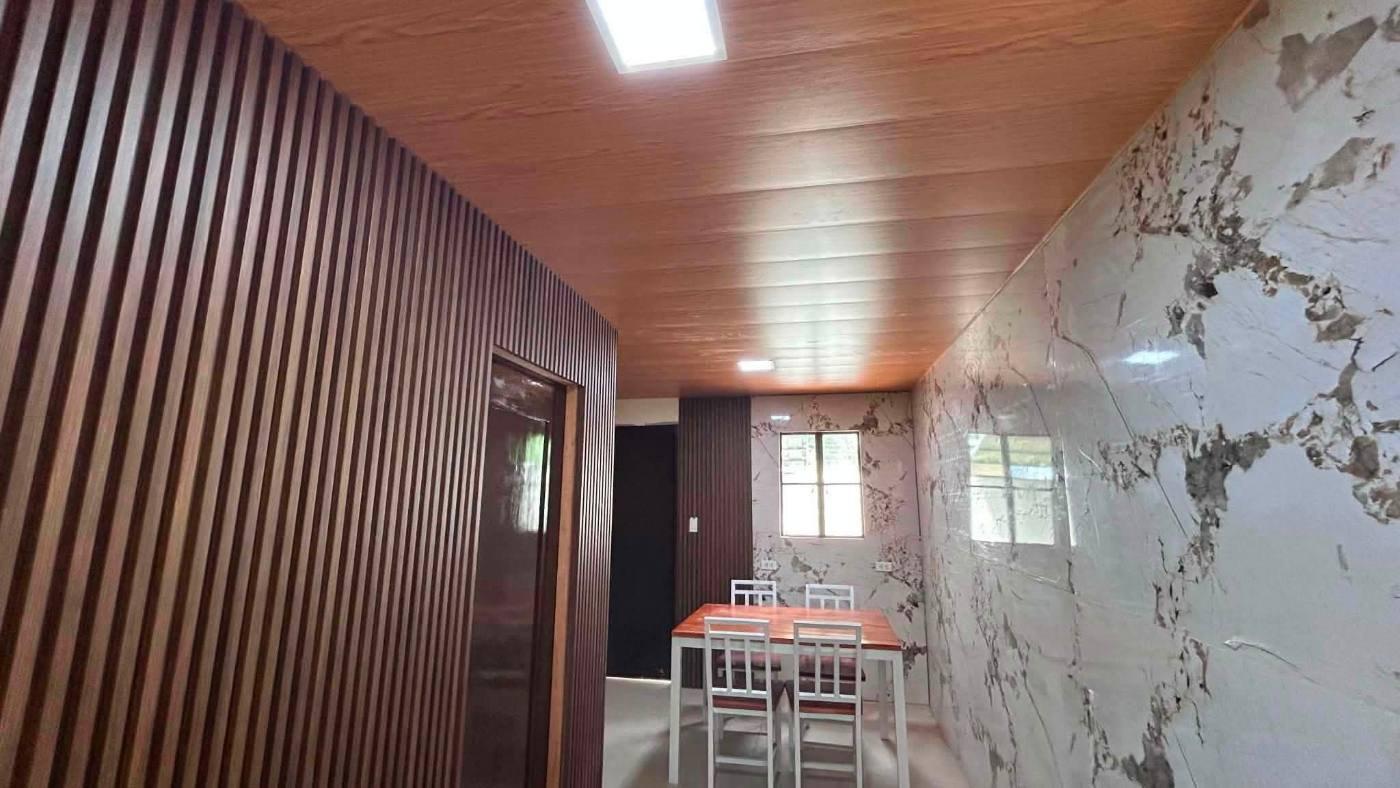 Ask the agentSan Miguel, Manila1BR · House24h securityAd seen 1d ago
Every listing shows when it was last checked — taken places come down.
Not what you were looking for? Tell us and we will find it.
Want us to find a place in San Miguel?
Tell us your terms and we will look and get back to you — including areas not listed here yet.
By property type
Buildings in this area
Nearby areas
Jeepney and bus routes
Routes whose line passes within 800 m of this area’s point. Distance is measured, not estimated.
- Punta–Quiapo via Santa Mesa462 mAlso passes Santa Mesa · Sampaloc · Quiapo
- Quezon City Hall–Manila City Hall462 mAlso passes Timog · Sampaloc · Banawe
- Doña Carmen–T.M. Kalaw471 mAlso passes Visayas Avenue · Timog · Sampaloc
- Pasig–Quiapo471 mAlso passes Shaw Boulevard · Santa Mesa · Sampaloc
- Route 2: Angono–Quiapo via Ortigas471 mAlso passes Rosario · Quiapo · Sampaloc
- Route 3: Antipolo–Quiapo via Aurora Boulevard471 mAlso passes Katipunan · New Manila · Santolan
- Alabang–Divisoria489 mAlso passes Pandacan · Sampaloc · Pio del Pilar
- Cubao–Divisoria via Santa Mesa, Aurora489 mAlso passes New Manila · Sampaloc · Balong-Bato
- Divisoria–Murphy via Legarda, Aurora Boulevard489 mAlso passes New Manila · Sampaloc · Balong-Bato
- Parang–Recto via Aurora Boulevard489 mAlso passes Katipunan · New Manila · Parang
- Balic-Balic–Bustillos via G. Tuazon587 mAlso passes Sampaloc · Banawe
- Balic-Balic-Quiapo via Lepanto639 mAlso passes Quiapo · Sampaloc · Banawe
Routes and distances from OpenStreetMap contributors (ODbL). Route names are kept as they are called locally.
About San Miguel
Manila, Metro Manila
- Quiet
How far from the main hubs
- Makati · Ayala — 5.7 km in a straight line
- Cubao — 6.9 km in a straight line
- Ortigas — 7.3 km in a straight line
- BGC — 7.7 km in a straight line
- NAIA T3 — 8.8 km in a straight line
Straight-line distance, not travel time — in Metro Manila 3 km can take 40 minutes. Coordinates from OpenStreetMap.
Landmarks within walking range
- Centro Escolar University (university) — 0.3 km in a straight line
- San Beda University (university) — 0.4 km in a straight line
- Arellano University (university) — 0.5 km in a straight line
- Legarda (station) — 0.5 km in a straight line
- National Center for Geriatric Health (hospital) — 0.6 km in a straight line
- Pamilihang Bayan ng Sampaloc (market) — 0.6 km in a straight line
Within 1.5 km, straight-line distance. Places from OpenStreetMap contributors (ODbL).
Earthquake hazards at this spot
- Liquefaction
- High Potential
From one point at the centre of the area, not the whole area. Wording and grades are PHIVOLCS’ own. Acknowledge Philippine Institute of Volcanology and Seismology.